Shiloh National Military Park
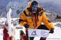
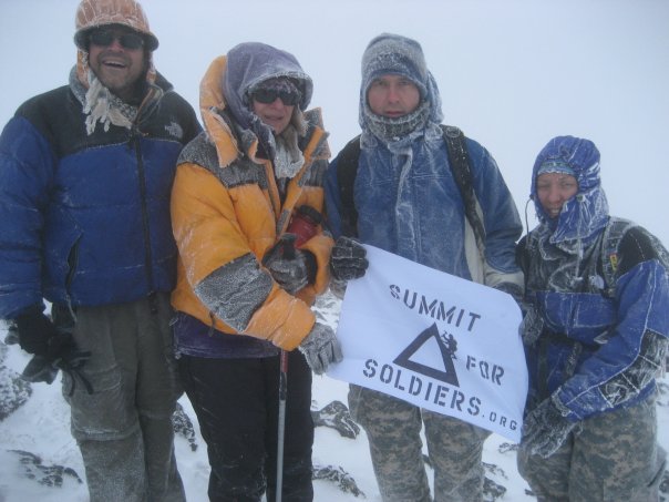
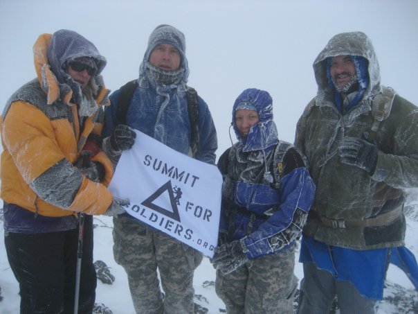
28th Jan 2014 - SUMMIT of Cerro Aconcagua (22,841ft)
Highest Peak in South America Summited! We raised the flag of our Silently Fallen Warriors, read more at the Aconcagua site.
Highest Peak in South America Summited! We raised the flag of our Silently Fallen Warriors, read more at the Aconcagua site.

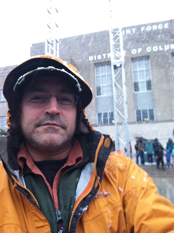
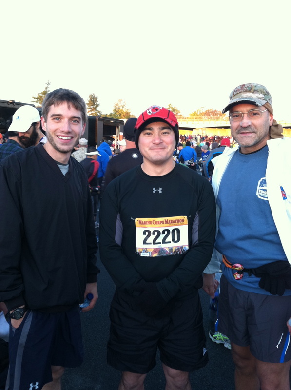
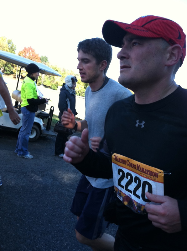
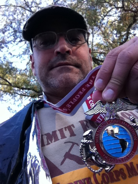
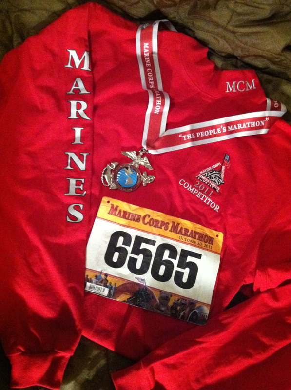
27th Oct 2013 - 38th Marine Corps Marathon
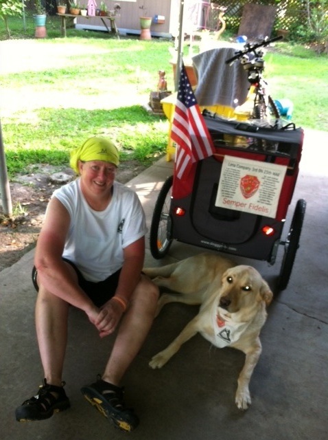
Gunny Bat and I had a wonderful day to enjoy the 26.2 miles of the MCM marathon. We took it real easy, but it is by far a very enjoyable circuit. If you ever thought about doing a marathon, this would be a good one to start with, it is energetic and motivating the entire way as you pass by our country's most historic monuments. This was my first stop on the road to Everest...
Gunny Bat and I had a wonderful day to enjoy the 26.2 miles of the MCM marathon. We took it real easy, but it is by far a very enjoyable circuit. If you ever thought about doing a marathon, this would be a good one to start with, it is energetic and motivating the entire way as you pass by our country's most historic monuments. This was my first stop on the road to Everest...
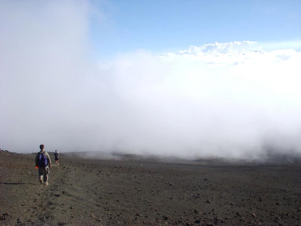
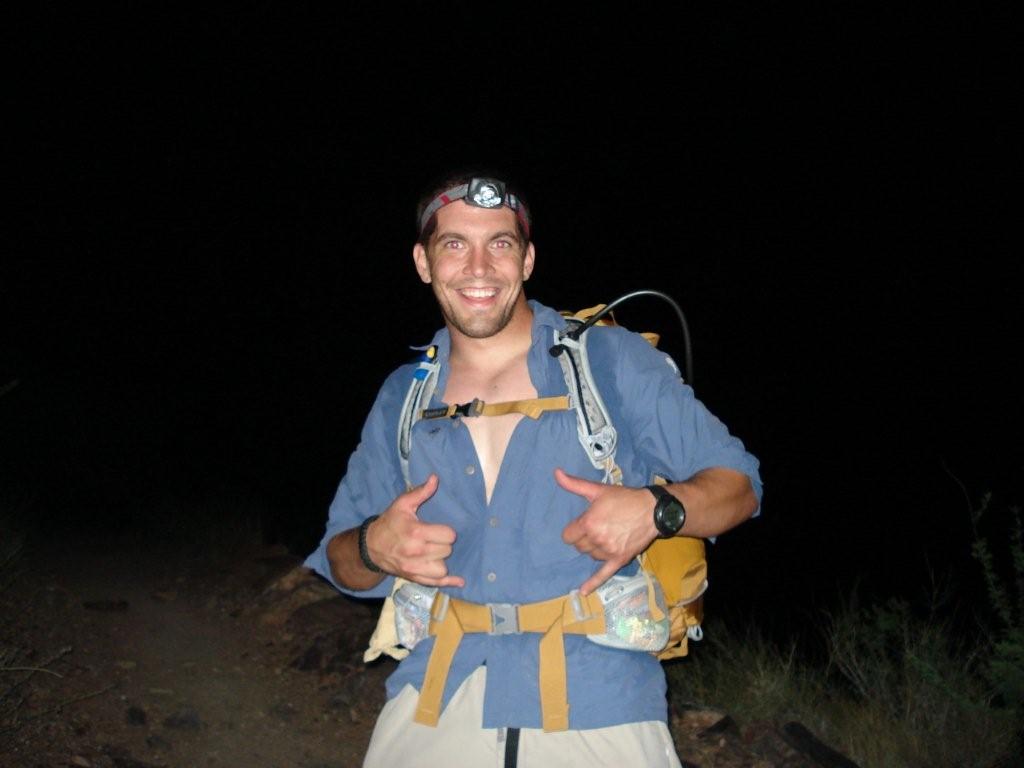
Mount Rainier, Washington 14,411 ft (13,200 ft highpoint reached)
Mount Katahdin, Maine: 5267 ft
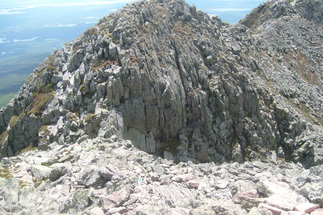
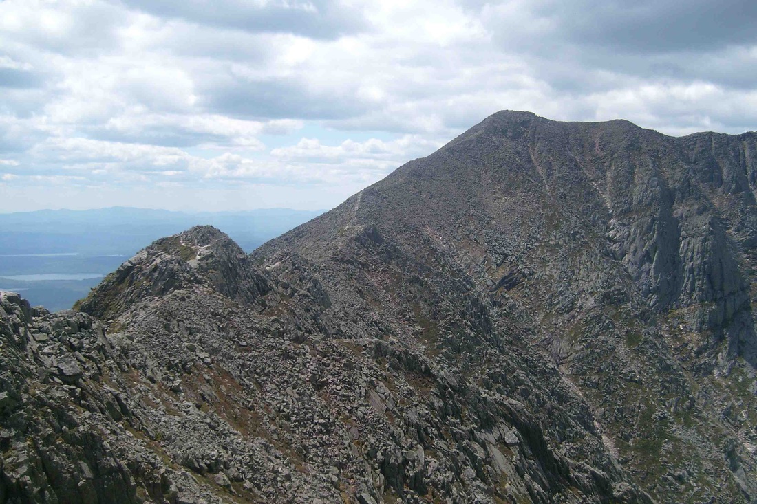
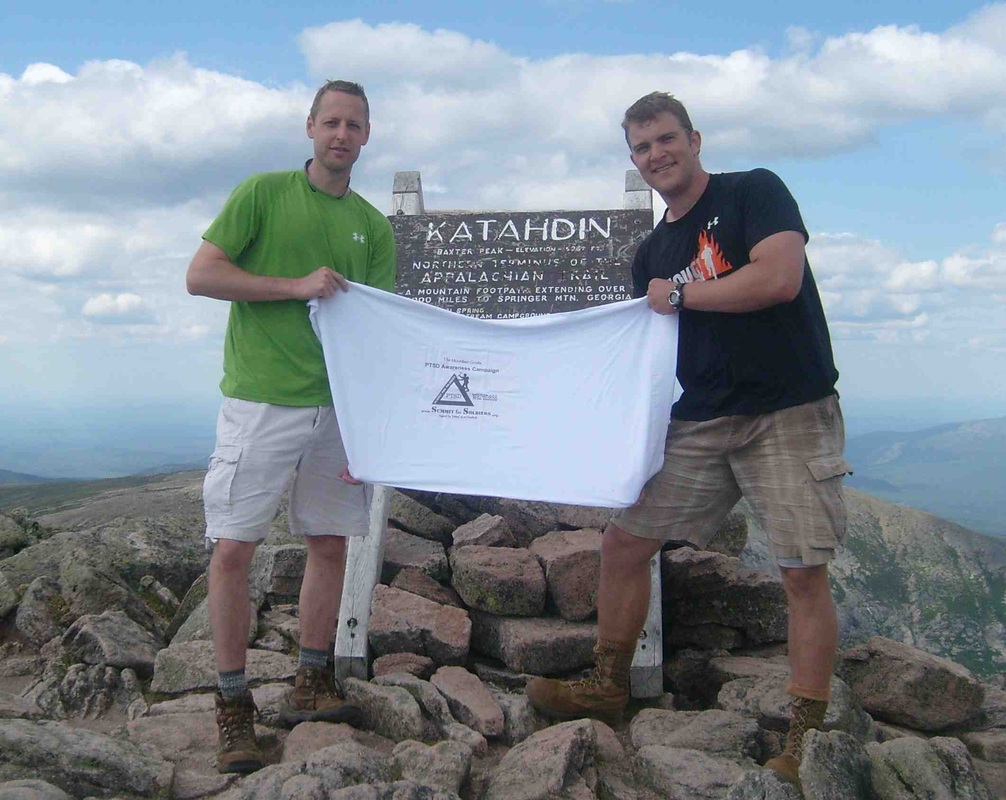
Mt Katahin, Maine Highpoint
Josh and I hiked Mt. Katahdin on Friday, June 21, 2013. The conditions were great for hiking. When we stepped off at 1000 from our campsite at the Roaring Springs, it was 75 degrees and sunny, though the night before temps had dropped into the high 40's.
The route we took to the summit was up the Helon Taylor trail to Pamola Peak, across the Knife's Edge to Baxter Peak, and then descended via the Saddle and Chimney Pond Trails back to the campground. The total distance covered was about 9.5 miles. It took us approximately 3 hours to get from the starting point to Pamola Peak.
The Helon Taylor Trail starts out as a pretty gentle incline, but the last hour or so was pretty steep and the going slow. Getting across the Knife's Edge was pretty challenging. At some points, it wasn't so much that we were hiking as we were climbing and even scrambling over rocks in bear crawl fashion. It took about 2 hours to get across the Knife's Edge and arrive at Baxter Peak. From there, we stayed at the top for awhile and took some photos and visited with some of the folks we met at the top. Interestingly enough, there was cell phone service at the top of the mountain and Josh was able to call his wife from the top at 5,267 feet. The descent took about 2.5 hours, for a grand total of 8 hours, start to finish. All in all, it was a very rewarding and challenging hike.
We took our time in the morning and didn't step off until approximately 1000, but I wouldn't recommend leaving any later than that. When we got back to our camp, we had about two hours worth of daylight remaining. The trails are very well maintained and marked. The blue blazes which are spray painted on the trees and rocks were easy to spot. We brought 6 liters of water with us when we stepped off at the beginning of the day, as well as a small hand pumped water purifier. I was glad we had the purifier as we stopped on the way down to replenish our stores, and the park ranger I spoke to said you definitely want to make sure you are filtering your water. The campground itself was great. Each site has a picnic table and a fire pit available, and they have plenty of firewood available near the ranger's cabin. The only thing I would do differently the next time would be to take more time off from work and rent a canoe and a fly rod and go fishing.
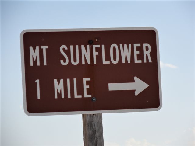
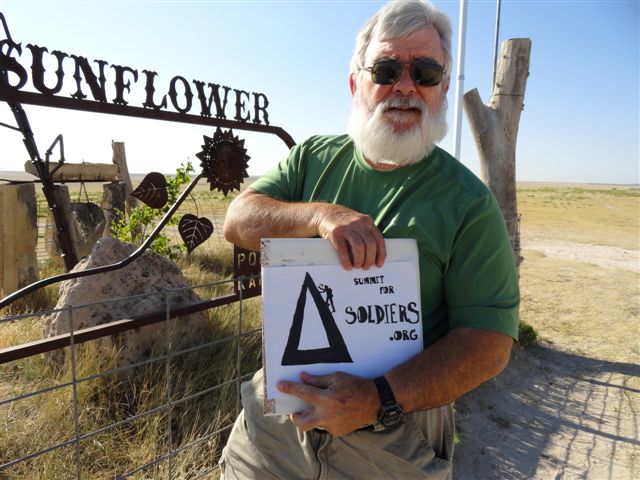
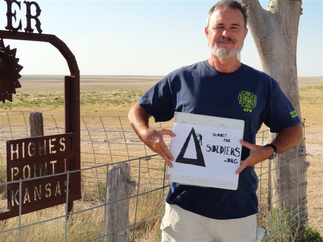
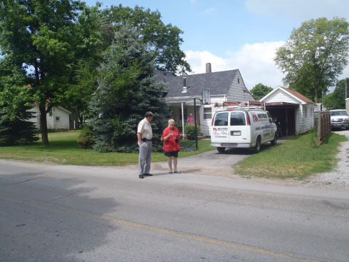
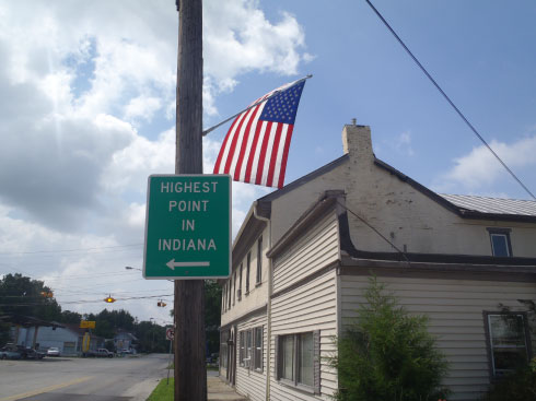
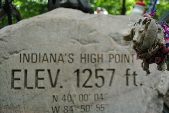
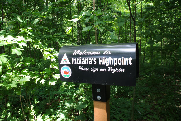
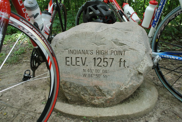
Hoosier Hill, Indiana: 1257 ft
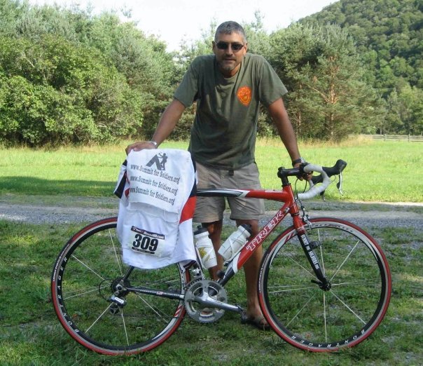
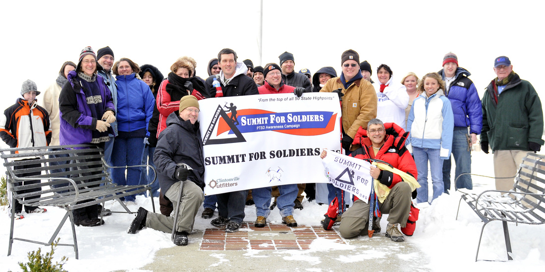
SUMMIT of HOOSIER HILL
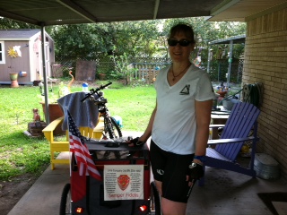
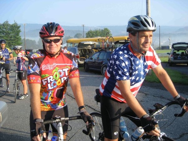
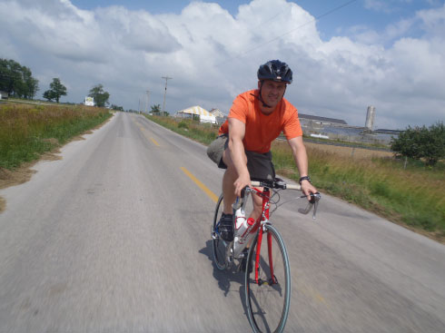
June 27th, we "summited" Hoosier Hill, Indiana's High Point in observation of the National PTSD Awareness Day. We started at New Castle VFW post#1282 and cycled to the Highpoint and back sharing info and stories about PTSD along the way. Check out our photos and timeline pages for more info. Here is a link to an article at the Journal Review about Summit for Soldiers campaign in Indiana..
June 27th, we "summited" Hoosier Hill, Indiana's High Point in observation of the National PTSD Awareness Day. We started at New Castle VFW post#1282 and cycled to the Highpoint and back sharing info and stories about PTSD along the way. Check out our photos and timeline pages for more info. Here is a link to an article at the Journal Review about Summit for Soldiers campaign in Indiana..
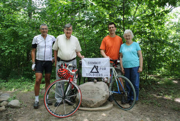
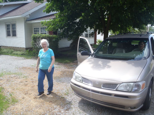
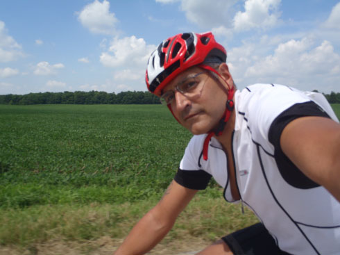
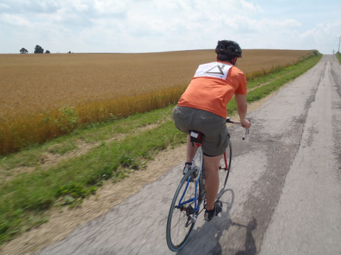
I wanted to drive after work, Steve wanted to do a 67mile ride up and back. Guess we didn't count on wind, broken roads, short steep hills, and more wind! Oh well, if its not epic, its not worth it! Big thanks to the support team, Dick and Anna.
|
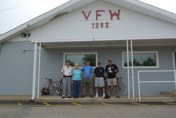
Huge thanks to the New Castle VFW post 1282, to Phil for allowing us to base out of there, and to Becky for opening up early and helping us get ready to launch! Thanks Guys, Semper Fi
|
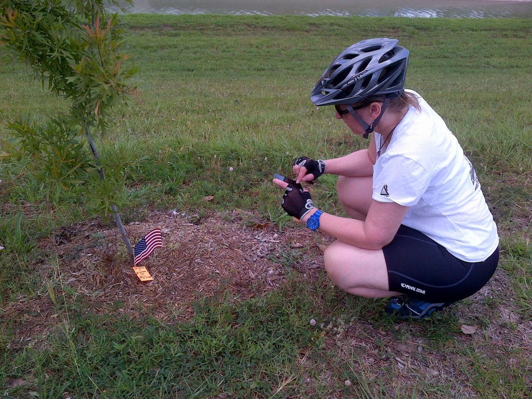
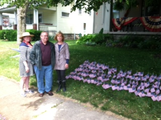
Memorial Day 2013